
Nez Perce
Blog 240: 7 Devils to Heavens Gate
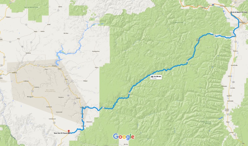
Heading south from Missoula on 93, we turned west on 12 at Lolo, crossed over Lolo Pass, across the border into Idaho, over to Kooskia, and took 13 down south to Grangeville. The trip was only 179 miles, but with the very curvy roads it took us over five hours. Beautiful journey, but it felt good to set up camp just outside of Grangeville, Idaho.
Grangeville Day Trip
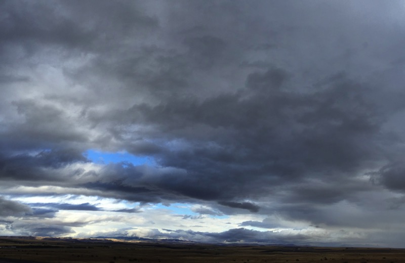
From Grangeville, we headed south on 95. It was a cloudy and rainy day, and we were rewarded with dramatic, cloudy skies. Here is a pic that Janny shot right outside of Grangeville, and one I took a little further down, just before the burg of White Bird.

Exiting at White Bird, we turned right after the bridge to take the White Bird Grade (Old Highway 95). The seven-mile stretch averages over a 7 percent gradient. Along with being a lot of up and down, the road constantly zigged and zagged like a Labrador pup unleashed in a meat market.
The Battle of White Bird Canyon occurred in the valley that the drive overlooks. The Indians easily won that opening battle of the Nez Perce War but were later decimated by the vastly superior numbers of the U.S. Cavalry. As was too common the practice, the war was started after the U.S. government reneged on its treaties, lied on its intentions, and stole from the tribe.
Returning to White Bird, this time we turned left after crossing the bridge, taking Road 493 in the Nez Perce Forest for the 17-mile scenic drive to Pittsburgh Landing along the Snake River in Hells Canyon. Wet and chilly, misty and gray, the colors in the landscape sparkled like the eyes of youngsters on Christmas morning.
On to Riggins
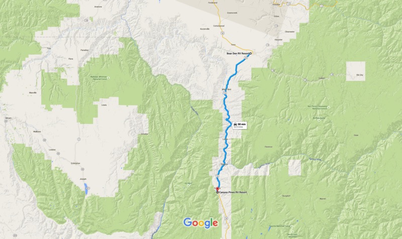
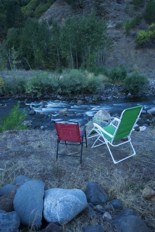
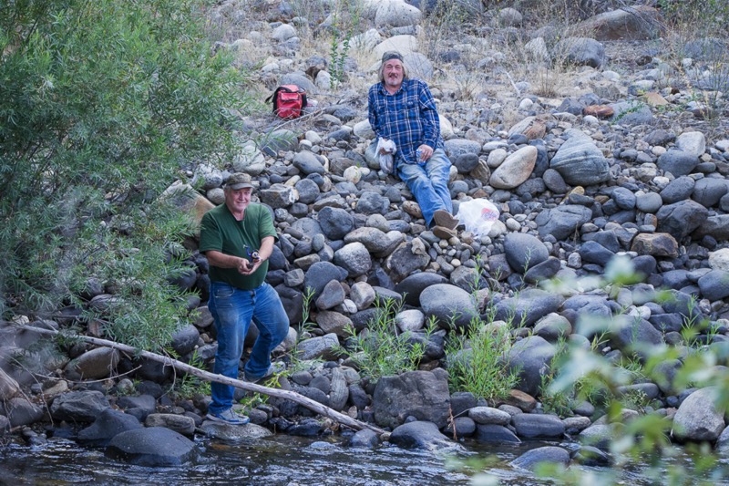
The trip from our Grangeville location to our campground south of Riggins was short but pleasant. Our Canyon Pines campsite was right on the Salmon River backed by the White Bird Ridge. We quickly fell into a pleasant routine: work in the morning, trips into the national forests in the afternoon, early evening sitting outside and enjoying the river and the busy Kingfishers. Here is a shot of our campsite view plus some fishermen across the way.
Ponderosa State Park
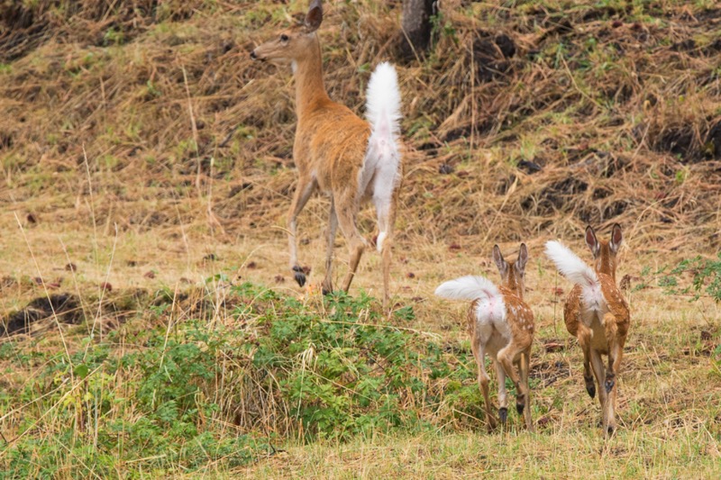
On a day trip, we took 95 South to 55 East past McCall. We entered Ponderosa State Park and took the loop around the park, searching for red fox among the towering Ponderosa Pine. We found no fox, but found several deer along the way. We took a hike before we picnicked overlooking the water. Very nice park.
Forest Trips
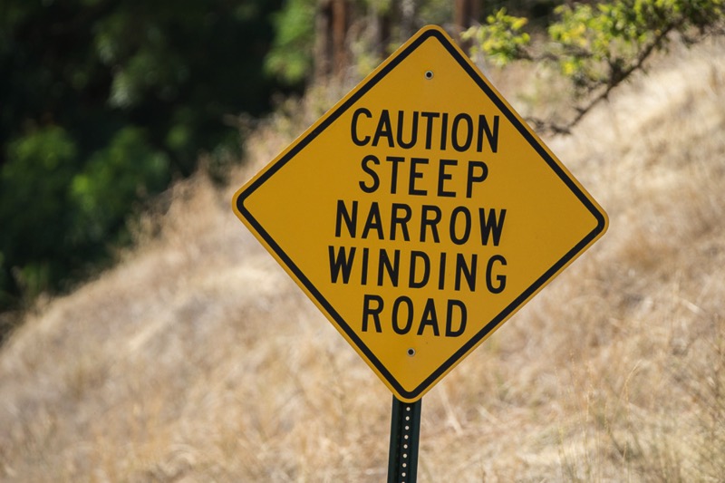
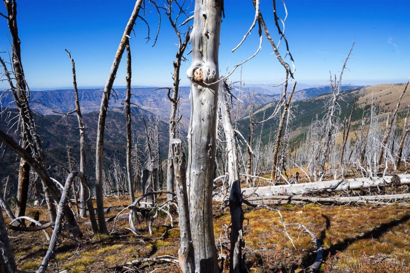
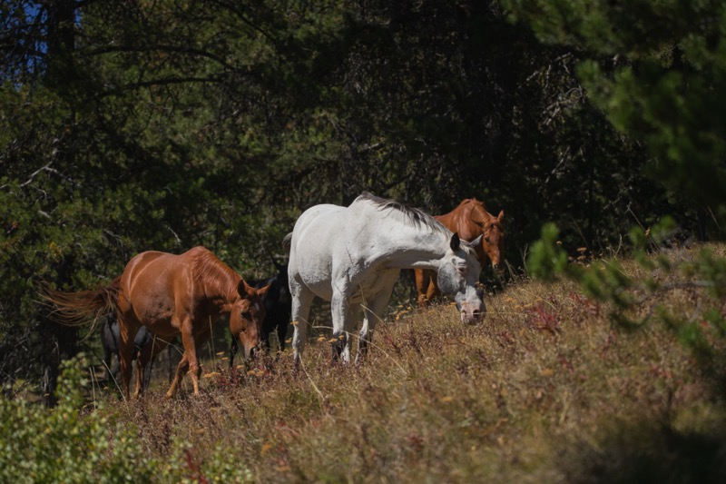
Our trips into the Nez Perce and Payette National Forests included taking the Smoky Boulder Road and Mud Creek Road loop down to Rubicon and New Meadows, taking Rapid River Road to the fish hatchery and beyond, taking the rough and rocky Race Creek Road up past Cold Springs and Cow Camp, and taking the 7 Devils Drive, up past 8,100 feet and on to the Heavens Gate Lookout, where we walked a trail among the remains of an older fire and saw new fires staring in the east. Beautiful scenery with horses and cattle running wild, a deer here and there, and flocks of quail scurrying among the brush. One sign summed up our forest travels: “Caution! Steep, Narrow Winding Road.”

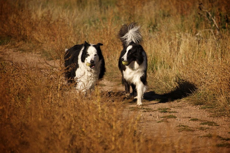
Pups
Here are two pups from the reserve.

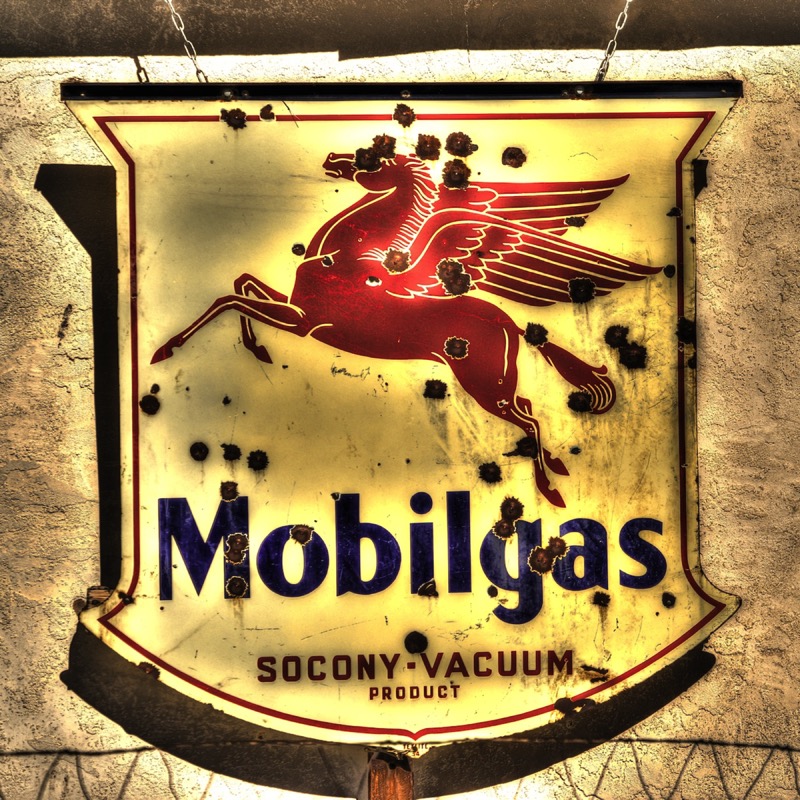
Old Sign
Here is an old sign.
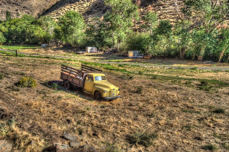
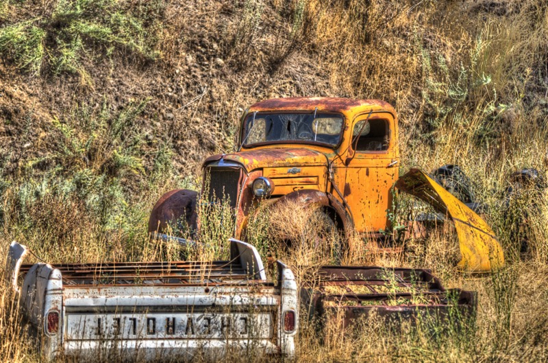
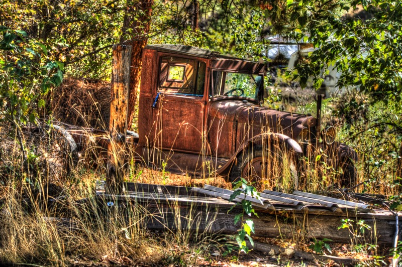
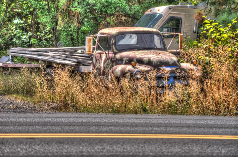
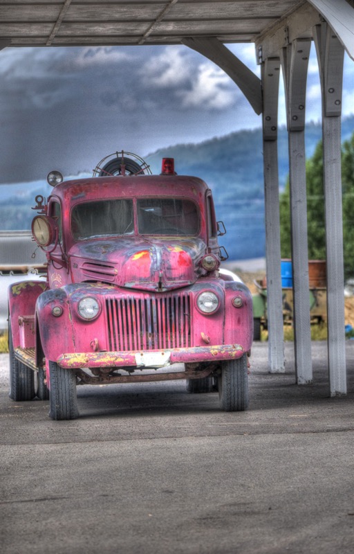
Old Trucks
Here are five old trucks.
See you next time!