
Glacier National Park
Blog 238: Fire on the Mountain
Since my last blog, we have been exploring the million-acre Glacier National Park and the surrounding northwest Montana area with friends. Small fires in the eastern part of the park initially burning 1,500 acres have expanded into larger fires burning over tens of thousands of acres. Firefighters from all over the country armed with explosives, water-dumping helicopters, and lots of guts have worked round the clock trying to control damage. With over 100 fires burning now in the west, depending on wind direction, the air quality ranges from slightly irritating to difficult to breath.
On the negative side, the fires stress the wildlife, put people and man-made structures at danger, and are a bummer for sightseeing tourists. On the positive side, the fires (at least in the park) are removing old, often diseased trees and planting the seeds (literally) for new, healthy growth. It will be a few years, but the change continues.
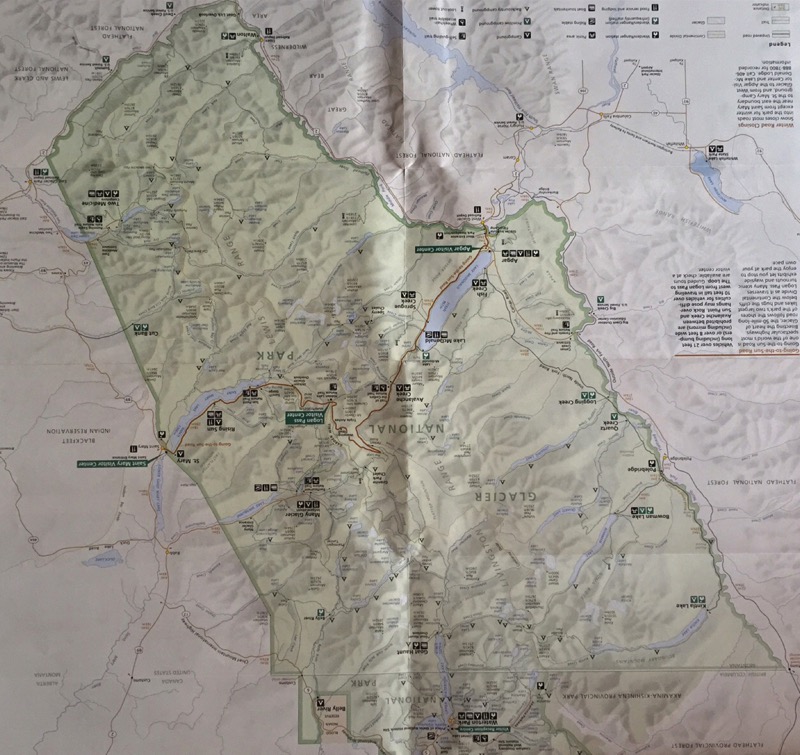
Going to the Sun Road
In spite of the fires and smoke, we had several nice drives on the spectacular 50-mile Going to the Sun Road that crosses the park east to west.
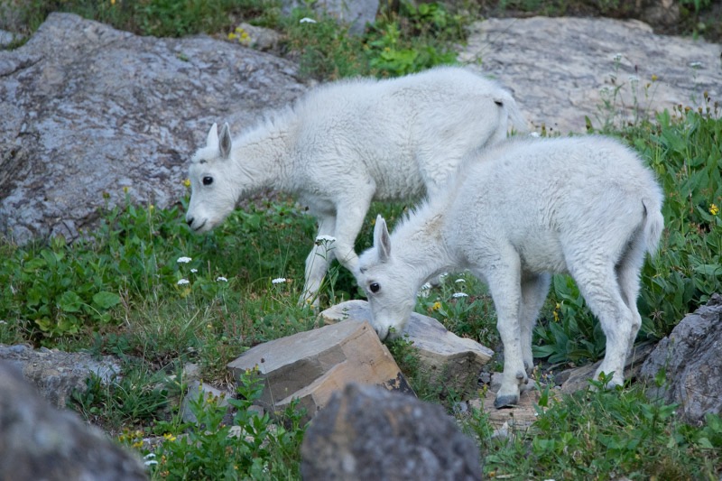
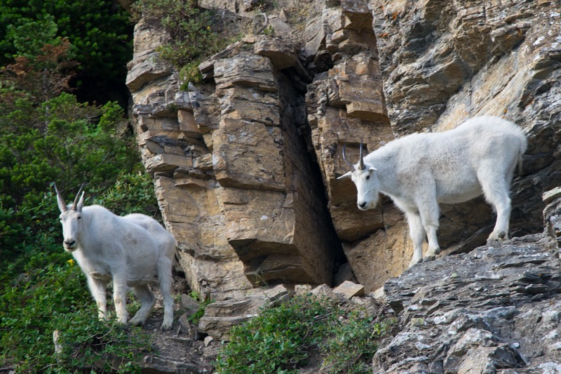
Right before Logan Pass, we watched a family of mountain goats forage and play.
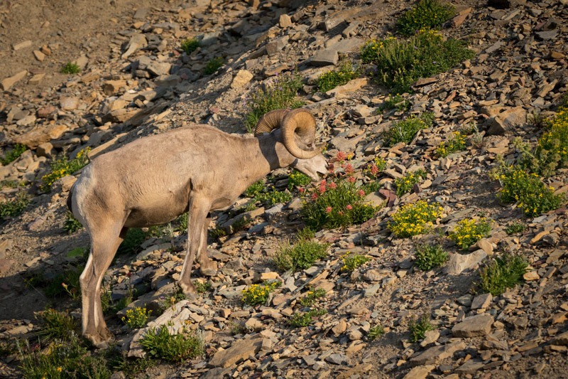
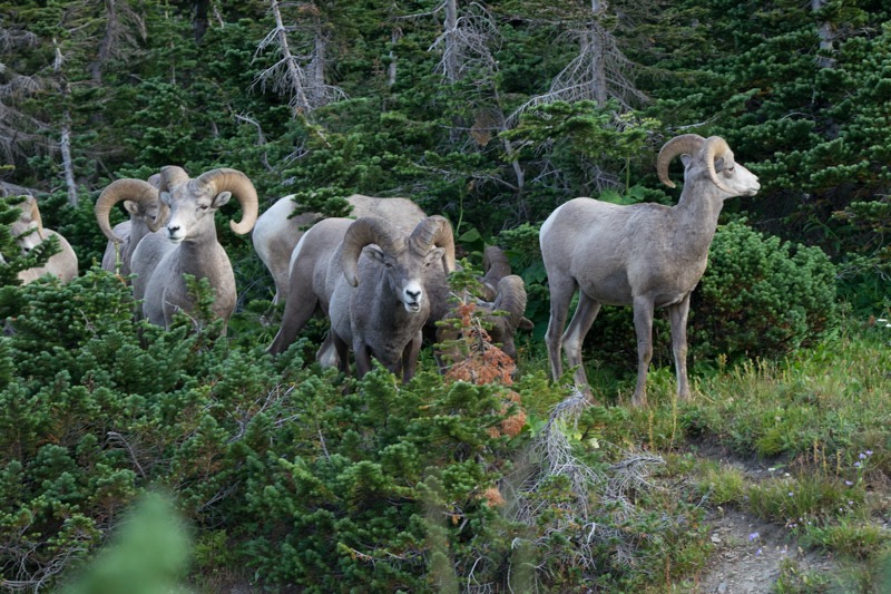
Later, in the same location, we saw a herd of Bighorn sheep troop down the slope in single file.
Hidden Lake Trail
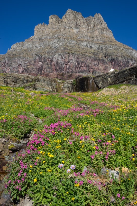
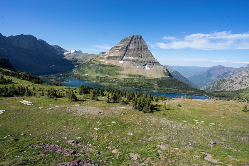
Right at Logan Pass we took a gorgeous hike on Hidden Lake Trail, which coincidentally ends at Hidden Lake. With Clements Mountain imposing upward, we walked through the wildflowers of the alpine meadows (named the Hanging Gardens), stopping often for the photo opps that kept getting better.
Past Logan Pass we drove through the blackened tree trunks and charred earth of recent fires on down to St. Mary’s. From there we drove north and then west into Many Glacier, where we hiked the Swiftcurrent Trail around the lake and by the lodge.
Also Within the Park
Also within the park, we took drives on Camas Road up toward Polebridge, once taking a National Forest road up the mountain. On another drive, we saw this young bear outside of Fish Creek Campground.

We hiked along the shore of Lake MacDonald and also took a cruise of the lake. Another time we took the Trail of the Cedars as a break from hunting for critters.
We took several short full-day trips outside the park.
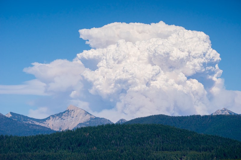
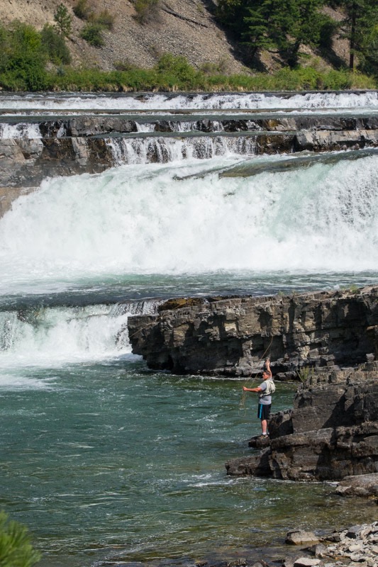
Hungry Horse Dam
We drove past Hungry Horse Dam and saw this impressive cloud from the eastern fire in the park.
Big Loop
Another time, instead of returning to our camp from St. Mary via the Going to the Sun road, we looped around the park first on 89, then 49, and then on Highway 2, following the hairpin curves into East Glacier Park and back around through Walton into the small town of West Glacier, and then back to Columbia Falls.
Flathead Lake
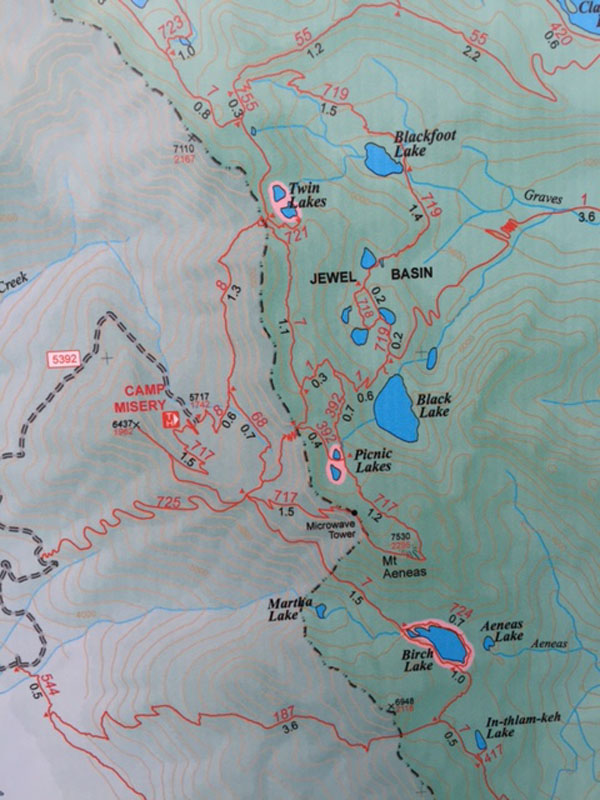
Our hike to Twin Lakes in the Jewel Basin was cut short about two-thirds of the way up the mountain by a sizable streak of lightning followed immediately by an attention-getting boom of thunder. Being fast learners, we quickly turned around eyeing the boisterous skies while we steadily moved through the rain. (Mitzy chose to make the journey in my arms instead of walking.)
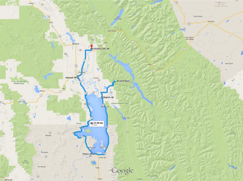
We moved to Plan B, driving to and then exploring the town of Bigfork at the northeast corner of Flathead Lake. From there we circled this very big lake, heading south to Polson, and then back up the western side.
Kootenai Falls
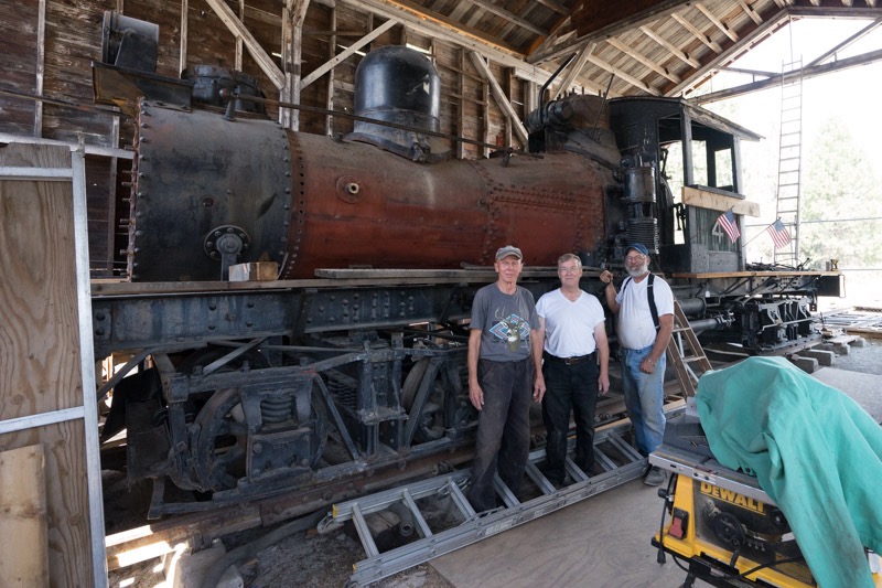
On yet another day, we took a big day trip, first heading west on Highway 2, taking our time enjoying the scenery of this sparsely traveled road. Right outside of Libby we stopped at a museum and wandered among the old cars, trucks, railroad equipment, etc. Stopping from their restorative work, three volunteers gave us the past history and the future plans of this old locomotive.
Traveling past Libby we stopped at the Kootenai Falls trailhead for a picnic in the woods. From there we took the short but pretty hike to both the Kootenai Walking Bridge and then the Kootenai Falls. We are fortunate to have visited many waterfalls in the West, but this one ranks right toward the top.
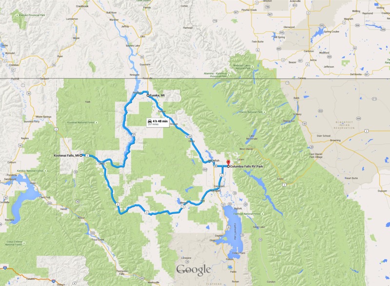
From there we backtracked to Libby, and then picked up highway 37, a scenic byway that hugged the eastern coast of the Lake Koocanusa all the way to Rexford then to Eureka. Just southeast of Eureka we spotted more fires.
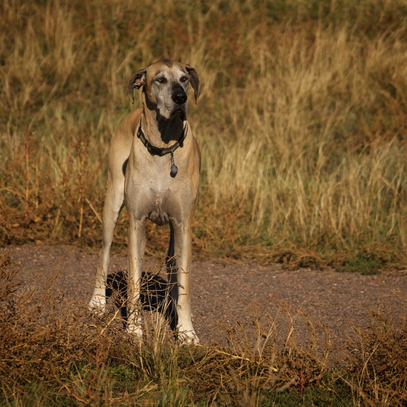
Pups
Here are two pups from the reserve.
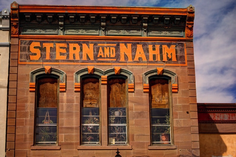
Old Sign
Here is an old sign.
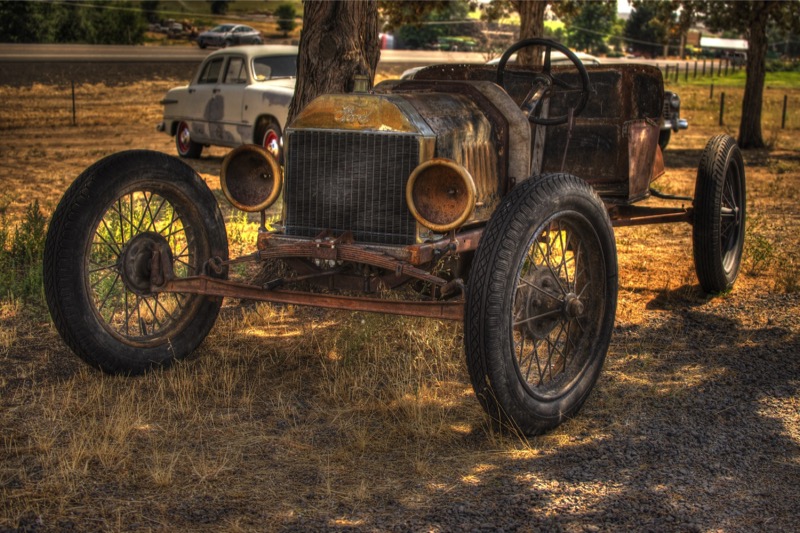
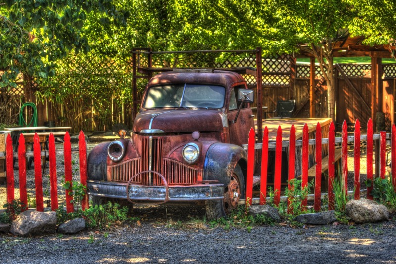
Old Trucks
Here are four old trucks.


Closing Comments
Glacier National Park is an awesome hunk of the United States. If you are interested in visiting, I suggest you come soon--all the glaciers are predicted to be gone within 20 years.