Travel Blog 271: Prairie Dogs and Black Hills
On to East Central Wyoming
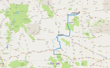
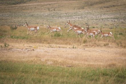
From Saratoga we took 130 north to 30 east to 487 north to 220 east to 258 north to I-25 south to Wyoming 95 north, where we settled in at the Platte River RV Park just outside of Glenrock. The 172-mile trip was pretty in its sparse sort of way, but most of the time I puzzled if we were in the center of nowhere or near the edge. Great day for driving, with fair skies, very little traffic, and lots of pronghorns for the pups to view.
Road Trip
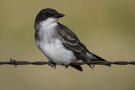
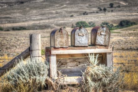
We took a road trip out in the boonies south and east of Glenrock and saw lots of birds and some interesting terrain.
On to Sundance
From Glenrock we made an easy 200-mile journey east on I-25 south, north on Wyoming 59, then east on I-90 to Mountain View RV Park in Sundance. Once again very light traffic, and the only significant population was that of the herds of pronghorn.
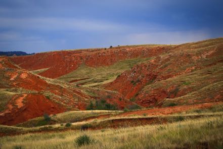
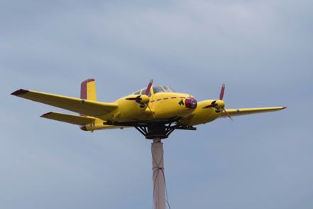
Much of the soil around Sundance is the bright red associated with Sedona. An interesting eye-catcher just east of the town is a yellow, twin-engine plane placed between and above the going and coming lanes of I-90. I call it the Wyoming Hood Ornament.
Devil’s Tower
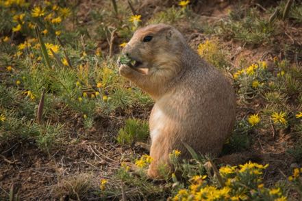
We had been to the Devil’s Tower in the past, but thoroughly enjoyed seeing it again. Jan took a few shots of the tower, but my photo efforts were geared toward the Prairie Dog Town.
Black Hills National Forest
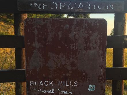
Our RV park was just two miles from the Sundance trailhead in Black Hills National Forest. Several mornings I took Jack up the trail. Luckily, as the photo shows, I had a detailed map so as not to run astray. Another interesting stop in the forest was the Warren Peak Lookout Tower, still manned everyday by rangers spotting and reporting fires. Here is a shot from the lookout.
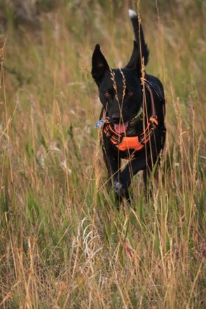
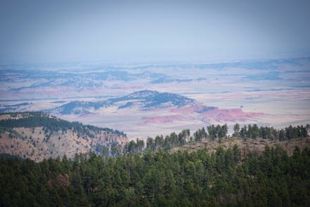
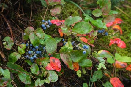
Another time we took another family hike on the Reuter Trail in Black Hills National Forest. Once again, we saw no one else. However, hollies and the turning leaves acted as colorful boundaries along the trail.
Day Trip
From Sundance to 116 south to Upton, then 16 northwest to Moorcroft, up 24 then east on 113 to Pine Haven, adjacent to both Keyhole Reservoir and Mule Creek Bay. From Pine Haven we took McKean Road north into the countryside. We turned south on Lower Kara Creek Road, connecting to Inyan Kara Creek Road that led to I-90 and our return to Sundance.
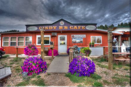
Cindy B’s in Alladin
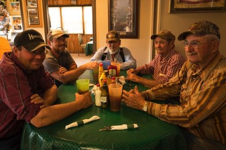
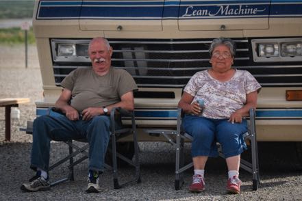
With Alladin’s population of 15, Cindy B’s restaurant doesn't have a huge population base from which to draw its diners. However, regulars help to fill the seats, and the word-of-mouth of great home cookin’ brings in some tourists like us. Here is a pic of Cindy’s place, plus a shot of some local ranchers talking about tracking down missing cattle, the high price of hay ($150/ton), and the rain that drops everywhere but on their ranches.
Old Trucks
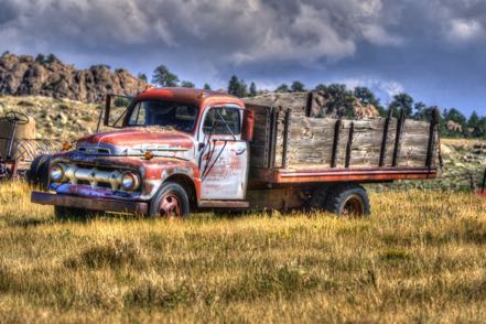
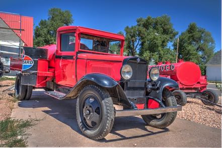
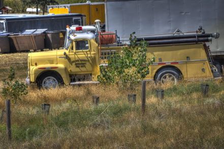
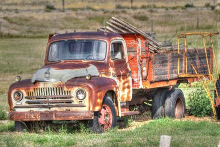
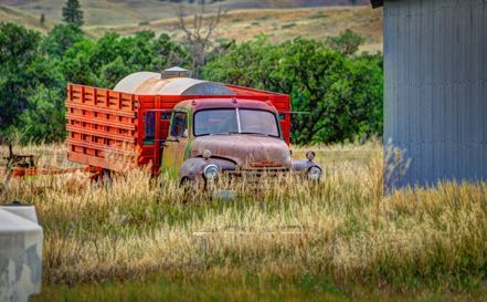
Here are five old trucks all from eastern Wyoming.
Trip to Eastern Wyoming
Most all our time spent in Wyoming in the past was in the western part of the state, primarily in Yellowstone and Grand Teton National Park. We love both these parks and will frequent them again.
This year, though, we thought we’d explore the eastern portion of the state. As blog followers know, we started west of Laramie, camping in Saratoga. We explored the Medicine Bow National Forest, and took in the Wyoming Annual Beerfest. From there we headed to Glenrock, east of Casper at the north end of the forest. Next we spent several days in Sundance, east of Gillette in the Black Hills of Wyoming. The scenery was wonderful, the pronghorns and deer were plentiful, and the traffic was sparse. Very enjoyable stay in this wonderful state.
See you next time from another state of mind.
Travel Blog 270: Young Brews and Fast Critters
Up to Wyoming
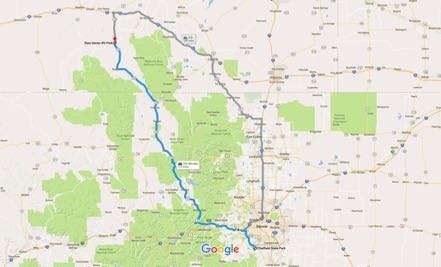
From our campground in Chatfield State Park, we decided to take the scenic route up to southern Wyoming instead of taking major roads and interstates. We took 121 north to I-70 west, US 40 west, CO 125 north, and as we passed into Wyoming, we continued onto 230 west and 130 west to the Deer Haven RV Park just north of Saratoga. It was only 216 miles, but much of the trip was steep and winding, affording wonderful views by requiring Jan’s full attention driving the bus.
Saratoga
The literature says that Saratoga is an interesting place, and it is correct. Although only 1,600 inhabitants, it has a lot to offer. It attracts hunters and fisherman (mainly fishing for trout) from all over the country and the world. They have an airport with a runway that can handle B-52s, and in the fall they say there may be a dozen or more big corporate jets transporting the rich (don’t know about the famous part.)
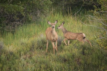
In sharp contrast to the high-density, heavy-traffic, go-go of the Denver area, this sparse, lightly populated area was a nice, slow change of pace. Deer wandered everywhere, and hundreds and hundreds of pronghorns populate the surrounding countryside. Our pup, Jack, feels that there is nothing more fun to watch than running pronghorn.
Dog Park
I was quite surprised that this small town had an off-leash dog park, and very pleased at how nice it was. It quickly became the cornerstone of our morning.
Microbrew Fest
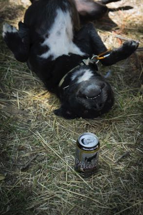
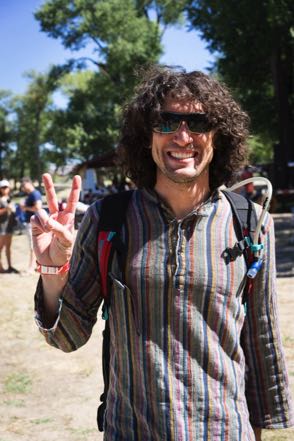
Saratoga hosts the Steinley Cup (pronounced “Stanley” like the hockey version), Wyoming’s microbrew fest in which most all the microbreweries in Wyoming compete for honors. The 21st annual happened the Saturday we were staying in Saratoga, so we felt obliged to participate. Pleasant day, friendly people, good beer.


Battle Pass Scenic Byway
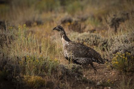
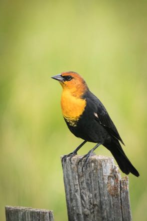
One afternoon we drove south to Encampment, then took Highway 70 up into the Medicine Bow National Forest, up over Battle Pass, and west on toward Baggs. Scarce traffic and great scenery. By the way, the name came from the numerous battles fought between the Indians and the trappers.
Snowy Range Scenic Byway
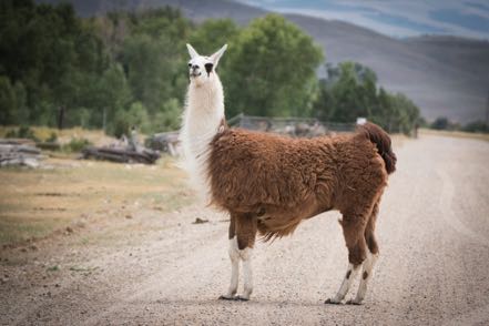
Another time we headed south for about ten miles, and then went east on highway 130 once again into the Medicine Bow National Forest, stopping at Centennial for a nice lunch, and then on to Laramie. Once again, beautiful scenery and light traffic.
More Colorado Pups
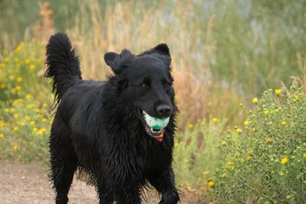
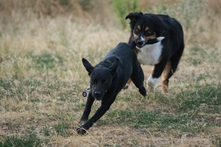
Here are more pup pics from Colorado that I didn’t have ready for my last blog.
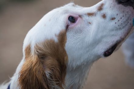
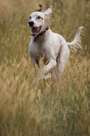
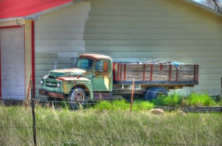
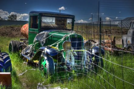
Old Trucks
Since an individual from Pine Island complained about my lack of truck shots, here are three old trucks from the Old Truck Reserve.
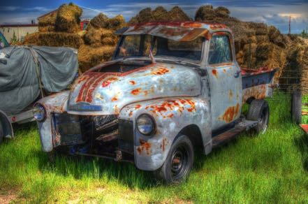
See you next time.
Travel Blog 263: Off We Go to Idaho
Vamos Colorado
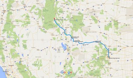
From Cherry Creek State Park on the outskirts of Denver, we headed north on CO 83, took I-225 North, I-40 West, and then I-E 270 North to I-25 North, all the way to Cheyenne. Here we picked up I-80 West and made our way to Rawlins, WY, and spent the night at Western Hills Campground.
The next morning we again headed west on I-80 and then US 30, marveling at how green Wyoming was this time of year. We made a short stop at Fossil Butte National Monument and were awed by the size, detail, and quantity of fossils, especially of fish. Just a few miles west of Kemmerer, it is off the beaten path but worthy of visitation. We travelled west into Idaho and stopped for a couple of nights at the Montpelier Creek KOA.
The first mid-afternoon we took a short road trip east on 89, and then on Wood Canyon Road to Bauman Lane, and up to the Montpelier Reservoir.
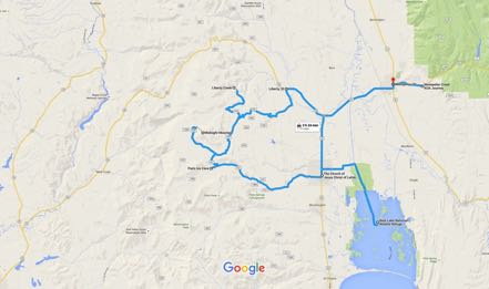
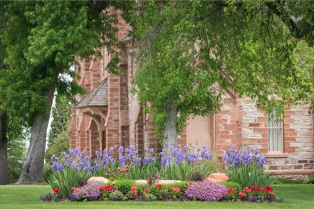
After working the next morning, we took a road trip west to Ovid and then south to Paris on 89 South. Our first stop was the Paris Tabernacle.
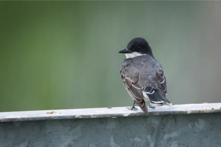
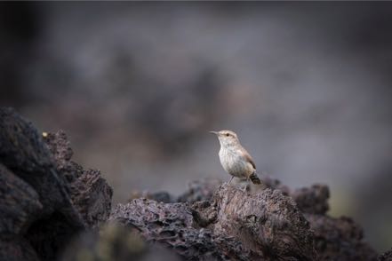
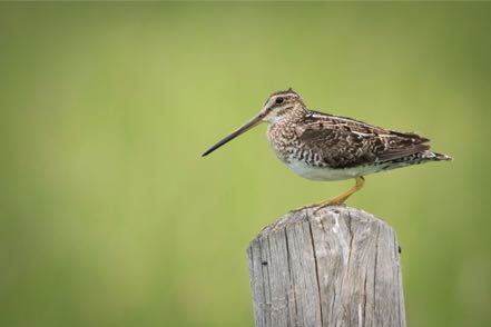
Next we toured the Bear Lake National Wildlife Refuge and shot a few birds.
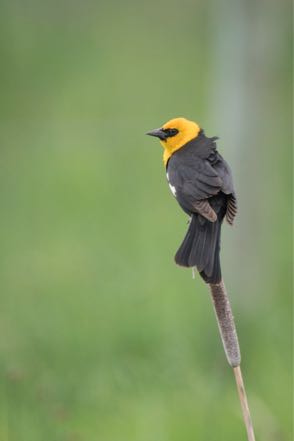
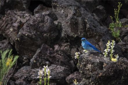
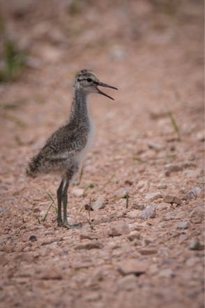
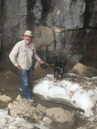
From there we headed up into the Cache National Forest taking Paris Canyon Road. Jan had a blast identifying wildflowers as we slowly worked our way to the Paris Ice Cave, noted for having ice all year round. We circled our way back on Canyon Road.
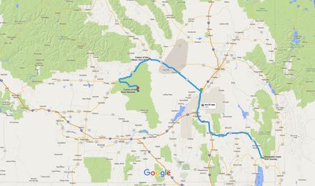
After two nights at Montpelier, we drove 168 miles west on US 30, and then west on US 26 to the Craters of the Moon KOA located in Arco, Idaho. Pretty trip but not ideal, as the wind gusted more than 40 miles per hour much of the journey.
Craters of the Moon
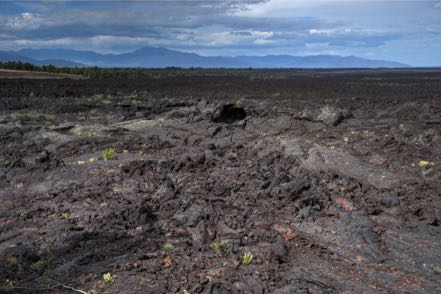
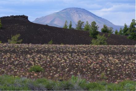
We visited this National Monument several years ago when it was hot and there was very little vegetation. Quite a difference this time, with cool weather, overcast skies, and bright flowers everywhere against and among the unique “off-worldly” scenery of this place.
Challis Hot Springs
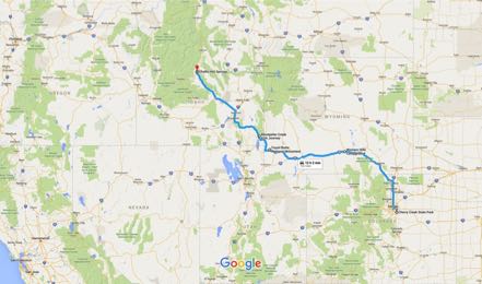
The next morning we had a wonderful 82-mile trip north on US 93. The road was smooth, the traffic light, pleasant overcast skies driving through lush green valleys, by rivers and creeks, and surrounded by mountains.
Our campground was situated on the hot springs property with our site adjacent to the Salmon River. Each evening we walked over to the Springs and soaked in the 105-degree waters.
Little Road Trip to Bayhorse Lake
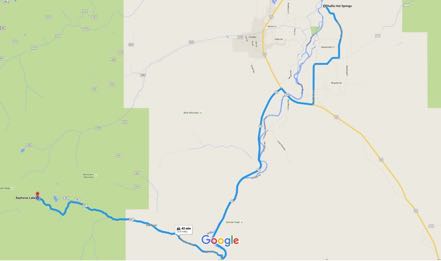
Our first afternoon we took a backroad trip to Bayhorse Lake. Old mines, ghost town.
Big Road Trip to Sunbeam and Back
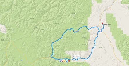
Our second day at the Hot Springs we took a big backroad trip. Our path took us west of Challis, up and over the Mill Creek Summit, with occasional ruins from mining or the old toll road route, where stagecoach travelers could shave days off their trip by spending $5 per person back in the late 1800s.
See you next week.
Blog 235: Wild Week in the Wild West
Buffalo Bill Rides Again
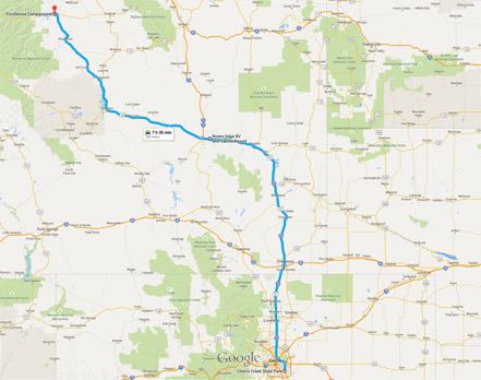
From our (almost) cosmopolitan park in Denver, we traveled among very light traffic north and west to Cody, Wyoming, with an overnight stop in Casper. Along the way, between Shoshoni and Thermopolis, we passed through the Wind River Canyon, a spectacular trek through a steep, colorful canyon adjoining roaring waters. It definitely deserves its “scenic” designation.
Our campground was within the city limits of Cody. Its claim to fame is Wild Bill Cody, and the town celebrates its Wild West heritage with daily shootouts and a nightly rodeo. Cowboy boots, hats, and smart bandanas are the appropriate attire for this gateway to yesteryears.
Yellowstone Loop
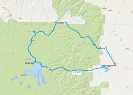
One early morning we traveled west from Cody the 50-plus miles to the eastern entrance into Yellowstone. We made our way to Lake Yellowstone, north through the Hayden Valley to Tower Junction, west through the Lamar Valley, and out through the Silver gate close to Cooke City. Within Yellowstone we saw (from a distance) a momma black bear and her two cubs, and (very up-front and personal) hundreds of bison in the Lamar Valley crossing the road within spitting distance.
Medicine Wheel
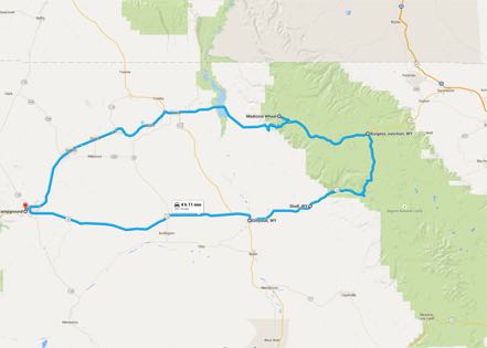
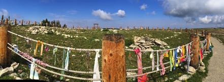
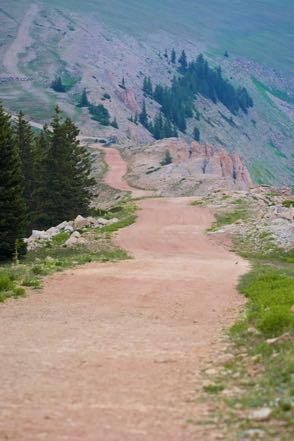
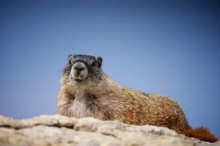
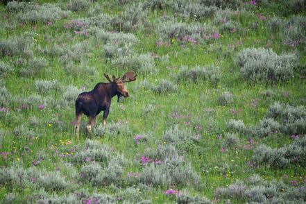
We took a road trip into the Bighorn Mountains, sighting a male moose in a flower-laden meadow having his lunch. We stopped for a hike up to the Medicine Wheel, a culturally important site to many Native American tribes, and a religiously significant location for some. Below is a nice pick of the wheel that Janny took. Throughout the year, hundreds of ceremonies of all kinds take place there. Along the path upward to the Wheel, we saw a really large harem of marmots standing up like meerkats sounding their alarm to warn of our coming, scurrying to their holes seeking cover, or just laying on rocks studying our behavior.
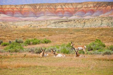
We stopped at a lodge in the woods for a tasty lunch (we were the only guests). On our return we took a road less traveled, passing by a dinosaur dig, moving by ourselves up and around on gravel, dirt, and rocks. About a quarter mile from the end of the earth, we spotted a group of pronghorn with the painted mountains in the background. They were kind enough to pose for me. Finding our way back to paved roads, we returned to Cody. Gorgeous trip.
Beartooth Highway
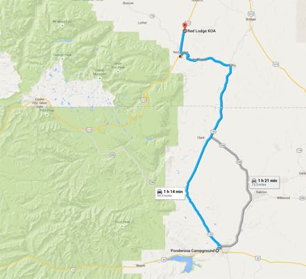
After packing up our gear we drove the short 70-mile trip north to our campground seven miles north of Red Lodge, Montana.
Just outside of Red Lodge is yet another scenic byway, the Beartooth Highway, that leads to the Northeast entrance to Yellowstone. Five minutes into our early morning journey west, we spotted a slow-moving procession…cattle? No too small…sheep? Could be, but wait…a herd of goats. We slowed to a crawl with Mitzy at full alert as we passed four goat herders and their four, proud-looking, goat-herding dogs, as they guided their four-legged cargo along the way. Check out Janny’s short video clip.
Yes, the scenic highway was scenic with mountains and valleys, meadows and wildflowers, streams and lakes.
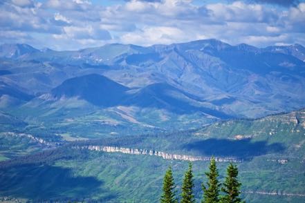
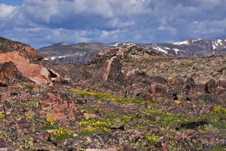
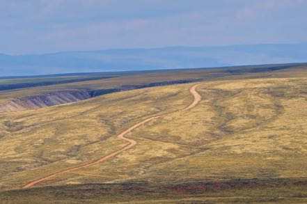
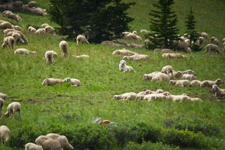
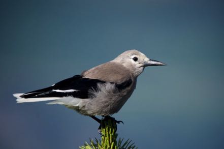
Our final stop was a fire tower that commanded vistas from all four directions. The blues and reds and yellows of wild flowers were magnificent, the finest display I have ever seen. However, the harsh light and strong breeze didn’t make my photos worthy of publishing. Yet, I did catch a decent pic of this Clarks Nutcracker.
We returned the same way, admiring the sights from a different point of view.
Pups
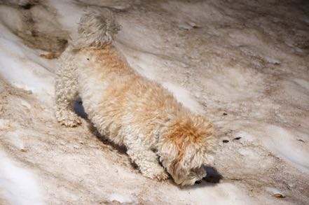
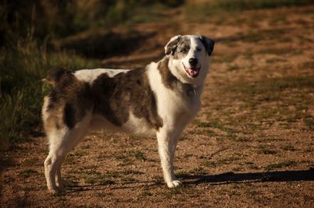
Here is a marmot-sniffing Madeline, plus one other pup from the Pup Reserve.
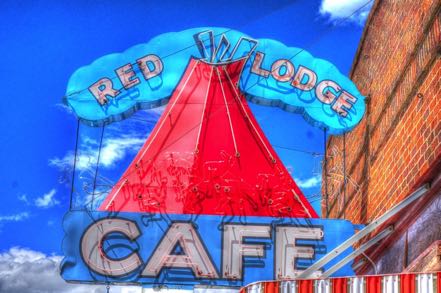
Old Signs
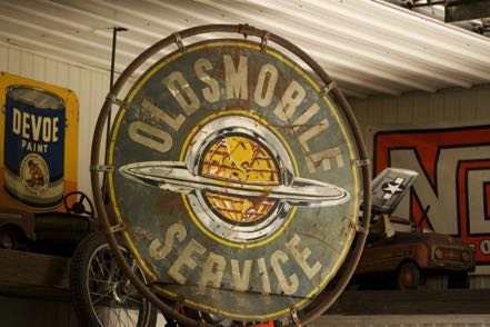
Here is an old sign from Wyoming and one from Montana.
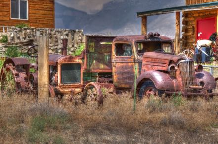
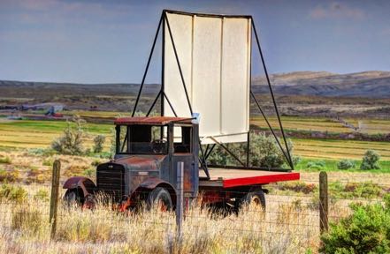
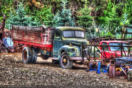
Old Trucks
Here are six old trucks from Wyoming and Montana.
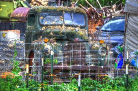
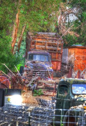
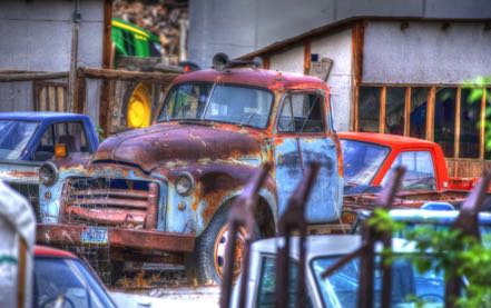
Slightly exhausting, but wonderful week.
See you soon.
Blog 232: 20 Old Trucks - Ain’t They Beauties!
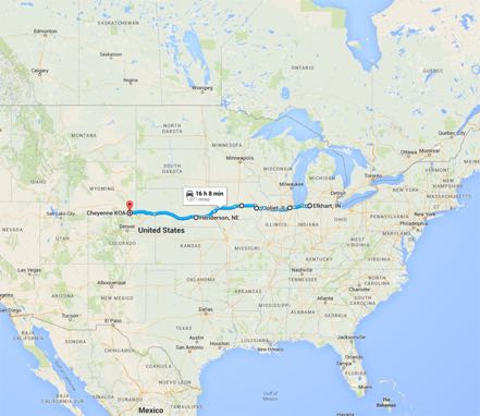
We motored across America’s heartland heading west through sunshine/cloudy, clear/raining, chilly/warm weather taking a combination of Interstate freeways and tollways, state highways, and county blacktops. When we hit western Nebraska and eastern Wyoming, old trucks started appearing everywhere and we got smiles wider than politician promises.
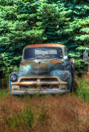
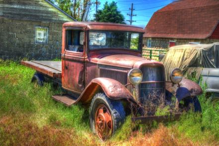
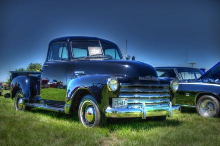
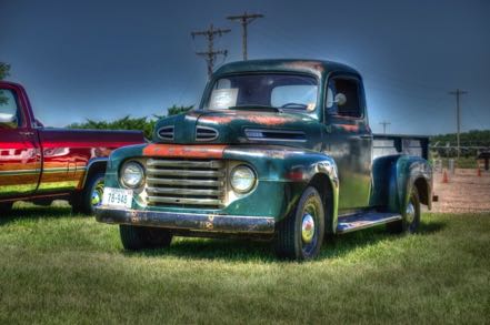
Hence, this blog contains 20 of the fine old truck specimens we captured along the way…feel the rust, experience the history, sense the power.
20 Old Trucks
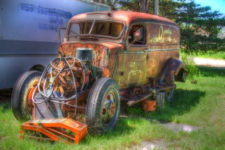
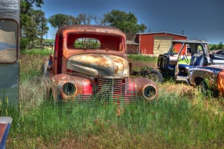
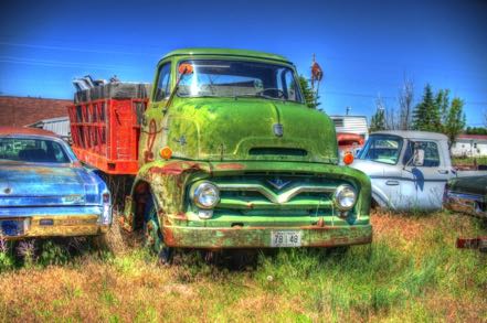
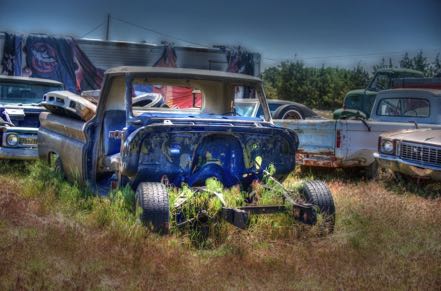
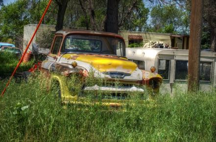
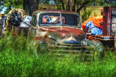
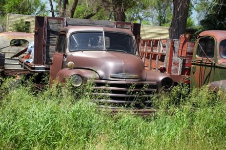
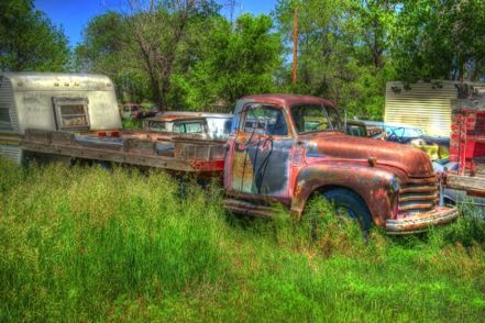
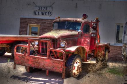
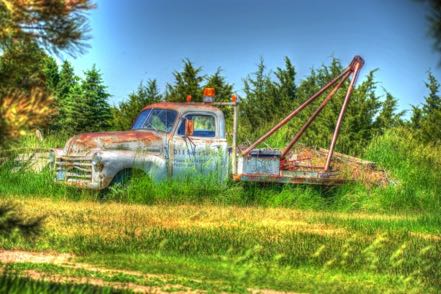
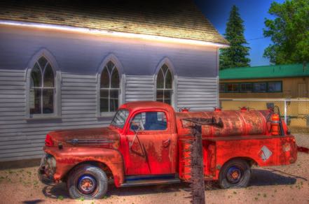
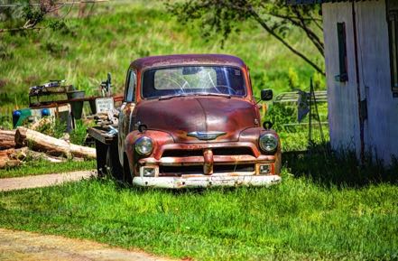
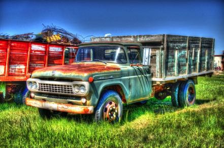
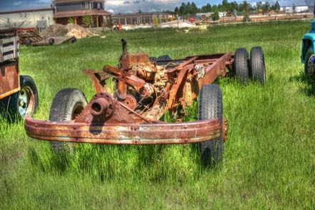
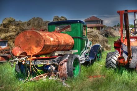
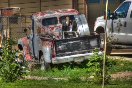
Note: Next blog will follow my more traditional format.
See ya then.
