October 2015
Blog 243: Sunrise in Zion
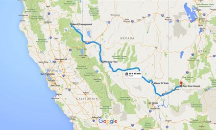
Whiskey Flats
We left our California campground at Eagle Lake and headed down the curvy forest road. At Susanville we headed east and south on 395 crossing into Nevada. At Reno we hopped on I-80 for a few miles, and then took 95 south. As planned, we stopped at Whiskey Flats RV Park in Hawthorne, Nevada. Hawthorne is just south of Walker Lake and the home of the Hawthorne Army Depot, covering 147,000 acres.
Alamo
The next morning we headed east on 95 to Tonopah. We had been told that there is not much to see in Central Nevada, and I can confirm the correctness of that statement. However, the roads were flat and straight and the traffic was light. The landscape was beautiful in its stark, simple form.
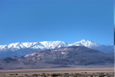
At Warm Springs, not a town but a junction, we took a right on 375, dubbed the Extraterrestrial Highway. As we got past the point on the map labeled “Rachel,” we started seeing Joshua Trees.
After fueling up, we set up camp at Pickett’s RV in Alamo, Nevada. Next morning we were on the road before 8 a.m., heading south on 93, picking up I-15 north to St. George. From there we took State Road 9 east to our campground at Zion River RV Resort near Zion National Park.
Zion National Park
Zion National Park is an icon of the national park system, drawing millions of visitors from all over the world. I took an early morning shuttle into Zion Canyon (no other vehicles are allowed) past the Court of the Patriarchs, the Zion Lodge, Weeping Rock, and finally got off at the Temple of Sinawava. From there I took the trail down to the Narrows and went until the trail turned to a riverbed, requiring walking, wading, and sometimes swimming to continue. The 45-degree water held limited appeal so I hiked back and took the shuttle to several other spots where I took short hikes.
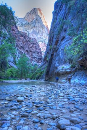
Janny, Mitzy, and I drove through the east part of the park on the Zion-Mount Carmel Highway passing around the mountains, over the river, and through the tunnels. Early one morning we revisited part of the trip and stopped short of the tunnel to take some shots around dawn.
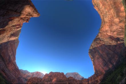
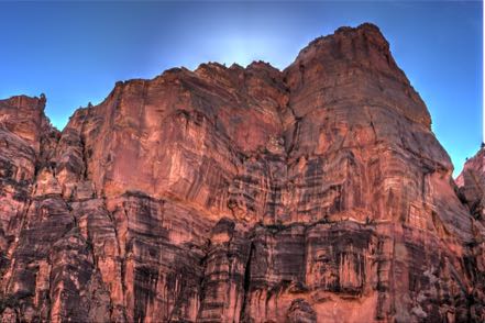
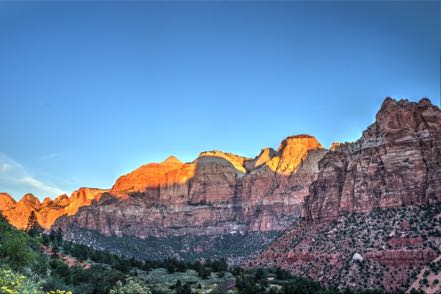
Wonderful place.
Pups
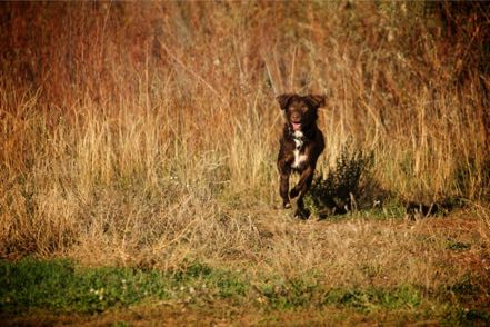
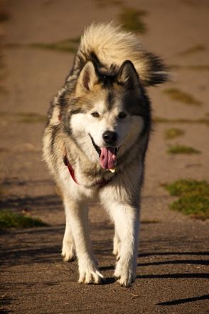
Here are a couple of pup pics.
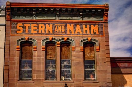
Old Sign
Here is an old sign.
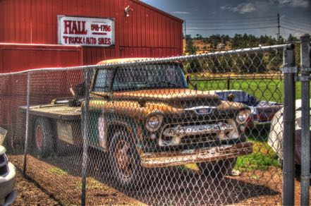
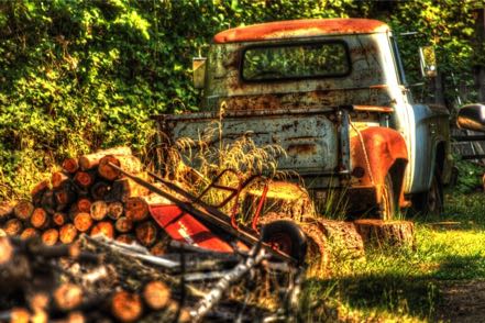
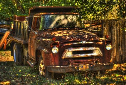
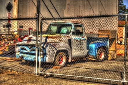
Old Trucks
Here are three old trucks.
See you soon.
Blog 242: Hangin’ in the Hood (Mt. Hood, That Is)
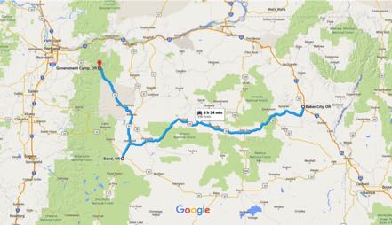
We crossed from Baker City east on 26 from the mountains and fossil-filled hills of John Day Fossil Beds National Monument to the prairies of central Oregon, stopping for a short while at Bend, and then north and west to Government Camp in the Mt. Hood neighborhood. The mornings were in the 30s, climbing up to the pleasant mid- to high 60s during the day. This was a great time to be in this area, as it is the lull between summer vacations and winter snow trips.
Mt. Hood
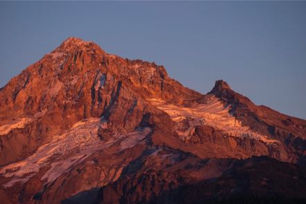
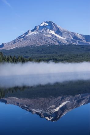
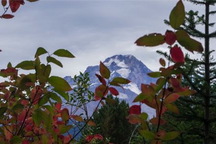
Everywhere you look, the icon of Mt. Hood overlooks. Here are three shots of the Big Guy (the reflection was taken at Trillium Lake).
Hikes
Over several days we had the chance to hike Little Zigzag Falls Trail, Trillium Lake Loop Trail, Mirror Lake Trail, Salmon Bridle Trail, and the Old Salmon River Trail. Around lakes, up to waterfalls, paralleling streams, through woods--great scenery.
Fruit Loop
This part of the world is the home of many orchards and vineyards. We made the loop heading east, north, west, and back south, stopping at the Wy’East Vineyard for a little tasting.
Sisters Garden RV Resort
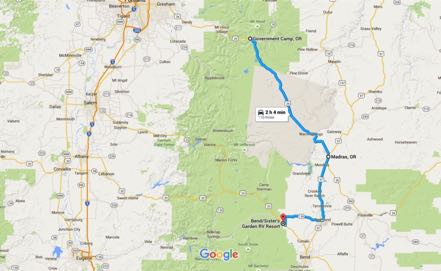
After a pleasant drive south, we set up camp at Sisters Garden RV Resort. A garden it was--flowers everywhere, and as well cared for as the best botanical gardens. During our stay I had a quick trip to New Jersey to do business with a long-time client.
Eagle Lake
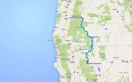
After Sisters, we headed down 97 and filled up at Gordy’s Truck Stop at LaPine--can’t beat diesel at $2.49! We took 31 south--beautiful drive. At Lakeview we picked up 395 south, and then down into California. My original plan was to continue down to Likely, but at Alturas I navigated incorrectly, taking us west on 299. We continued on through Canby, and at Adin picked up 139 south, planning on going down to Susanville.
As we headed south I remembered some excellent reviews of a Lassen National Forest campground at Eagle Lake, so we took Forest Road AI on a gorgeous drive through the woods. At the south end of the lake we found Merrill Lake Campground, part of the Eagle Lake Recreation Area. Huge, flat paved sites in the woods, full hook-ups, fire rings, and an easy walk to the lake. Hardly anyone there. Wonderful place.
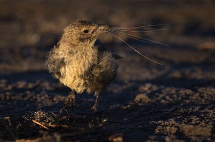
I got up early one morning and headed for the lake in 30-something degree weather hoping for a nice sunrise. The nice sunrise didn’t materialize, but I had a great time shooting this little bird. He had no fear of me at all, in fact, I found myself having to back up to focus.
Lassen Volcanic National Park
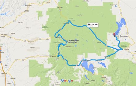
We took a half-day trip to Lassen Volcanic Park, taking two roads of a scenic byway there and back. Only moderate traffic on a holiday, so it was a pleasant 30-plus-mile drive through the park. Not a well-known park, but very worth visiting. Here is a shot of Lake Helen and Lassen Peak.
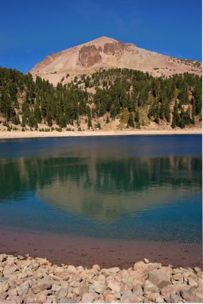
On the way to the park we saw a very large, very healthy black bear run across the road directly in front of us.
Pups
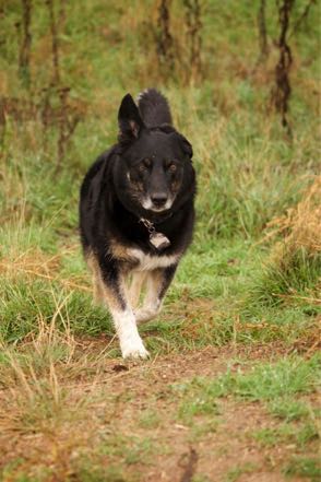
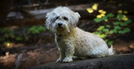
Here are a couple of pup pics.
Old Sign
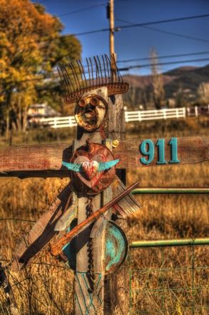
Here is an old sign.
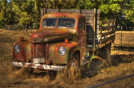
Old Trucks
Here are three old trucks.

See you next time.
